Fielding 007: Max Patch

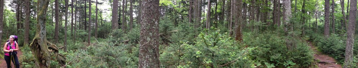
My first backpacking trip began at Max Patch in June 2015. Amy, Linda, and Harper Lee were game for a trip that was the first of many more to come.

What set that trip apart from all of the others (aside from being my first) is that we began during a thunderstorm, which was terribly dangerous on a mountain with no trees. We all knew that we needed to get off of the bald as quickly as possible.

10339493_10152868741636423_1947796427666773401_o
From left across to front: Amy, me, Linda, and Harper Lee

What we didn’t know was that the only sign for the AT was a four-by-four post with incorrectly labeled north and south arrows. Someone had used a sharpie marker to indicate north to the right and south to the left. Because we were in a hurry to get off the bald mountain (no trees! lightning!) we rushed in the direction we assumed to be north, toward Hot Springs.

It would be the next day, after we had already hiked six miles south, that we would realize our mistake. Without cell service, and knowing that we would not reach Hot Springs on schedule, we relied on the kindness of strangers to relay a message to our ride asking to be picked up in the very place we had been dropped off two days before.

IMG_0966

That afternoon, while waiting to be picked up, we scowled at the mislabeled post and scratched the correct directions with a tiny pencil. It was a pathetic but satisfying way of showing our frustration.

IMG_0967

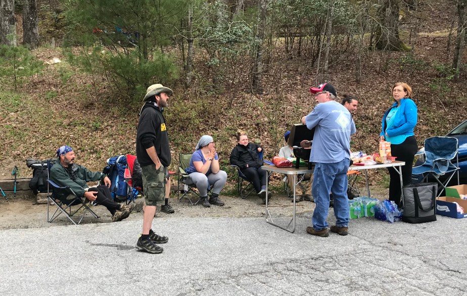
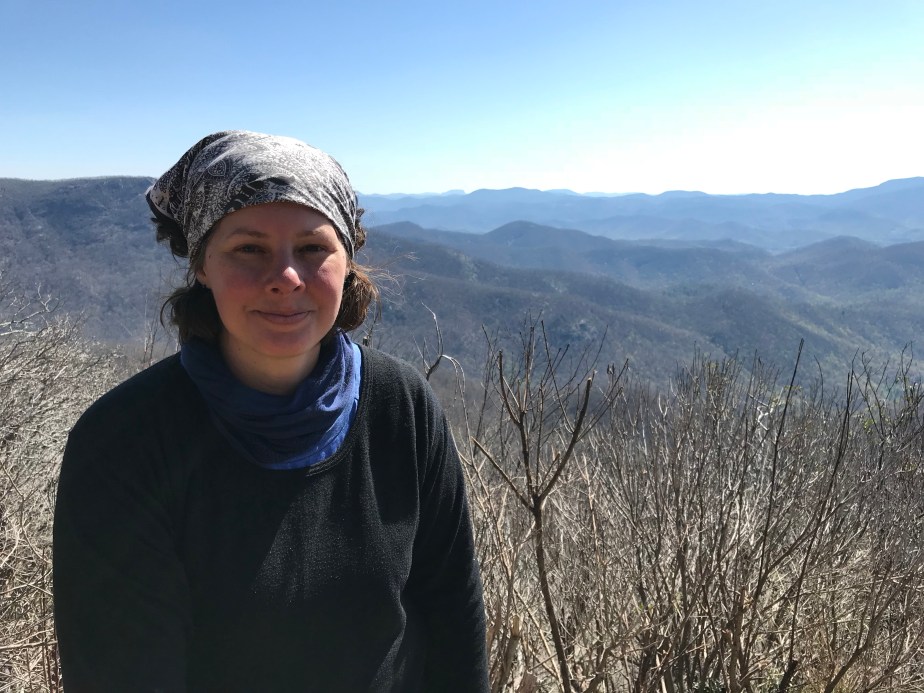
Imagine my surprise when I returned this May after dropping off Low Gear at Lemon Gap to see a new post, correctly and beautifully emblazoned with the north and south direction markers. It made me smile to remember the chaos of three years prior.

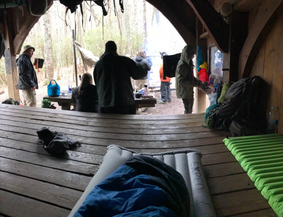
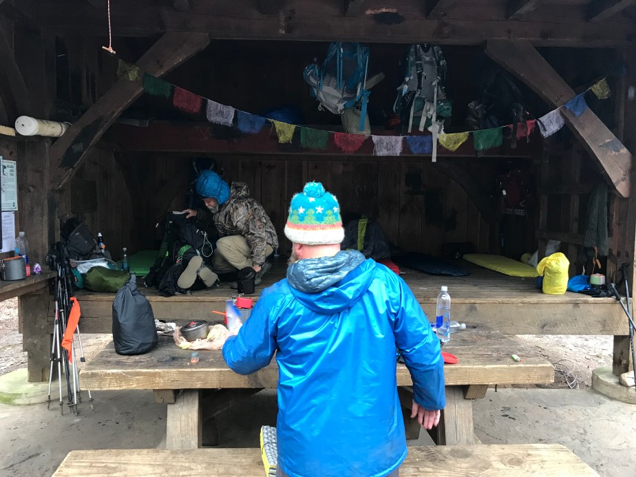
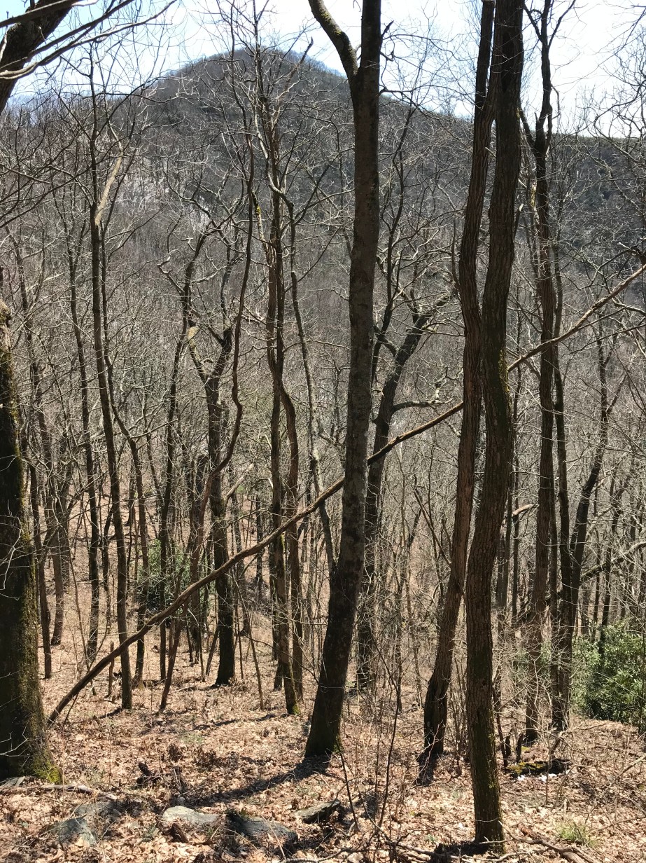
Still, this was a melancholy visit to Max Patch for a variety of reasons, at the same time I enjoyed the best part of an advancing afternoon. I had just sent Low Gear on her way, and she was happy to be rejoining the culture of the northbound thru-hikers making their hopeful way to Katahdin. I wished I was with them, but I knew I had other things I had to accomplish before fulfilling that dream.

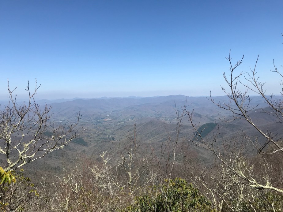
The better part of the day was spent on a blanket enjoying the clouds. I watched the hikers go by, envious of their hard-won miles. When I felt a few drops of rain, I packed up and made my way back down the mountain.

img_0481

I recorded the songs of the eastern towhee, a vireo, and a turkey. I made my peace with leaving the mountain and remembered the hikes of three years before: the first, when we went the wrong direction, and then the one we completed later that year on my birthday, when we triumphantly arrived in Hot Springs on schedule. (That morning of my 41st birthday was one of the most beautiful I ever recall on the trail.)

Walnut Shelter Sept (1)
Linda and Amy wait for me at Walnut Mountain Shelter, September 12, 2015

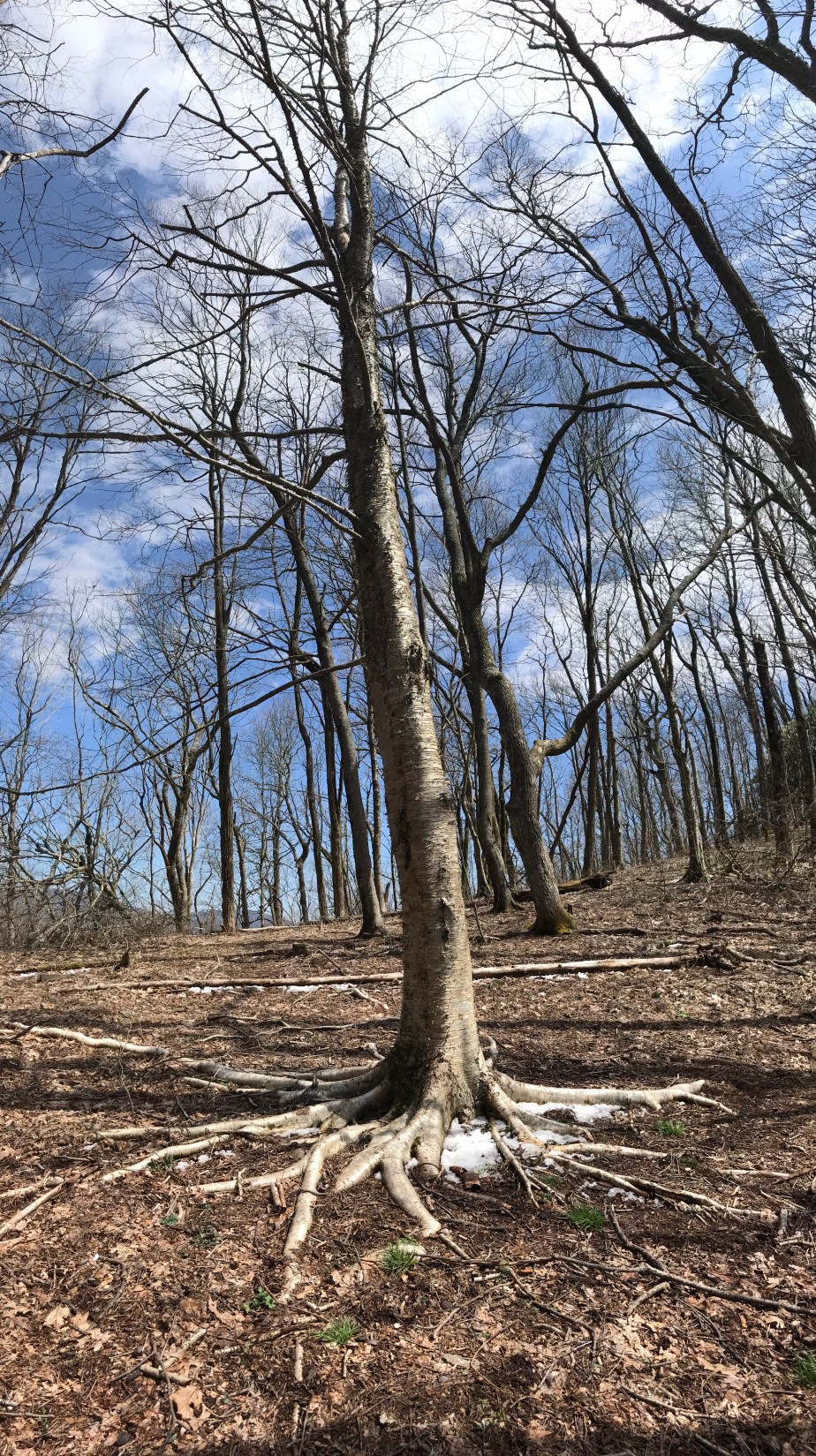
Anyone who backpacks has a special mountain, I wager. Perhaps not the favorite, perhaps not the most difficult, but meaningful, nonetheless. Max Patch will stay in my memory as a reminder to always check which direction I’m headed before traveling too far, too fast.

Advertisement

Fielding 004: Expansion

Standing Indian Shelter to Winding Stair Gap : April 18 – 20, 2018 for 23.5 miles

These days marked a transition for me, from hiking to where my trail friends were camped to hiking the miles I wanted to hike for that day and trusting that I’d find a new community. I was not disappointed.

After leaving Standing Indian Shelter, a hiker named Low Gear soon began to overtake me, and although we knew each other, we had never tried to hike together. It turned out that she was an excellent person to hike with.

Although she was determined to maintain her solo hiker status (a point which I truly understand and respect) she was fun to talk to and the miles flew by. We began to also have multiple encounters with another hiker named Pacifier who had been posting videos of her hike to YouTube since March. The three of us ended up camping together at Carter Gap Shelter and would spend the next two days after that hiking out to Winding Stair Gap.

I am immensely grateful for the companionship that both women offered. My other friends had hiked on ahead of us, and I would see them again when we came off the trail in Franklin, NC. But for those last three days on the trail before coming off, I was glad to get to know Pacifier and Low Gear better, and to hike with people instead of alone.

Day 13 – Wednesday, April 18 – Standing Indian Shelter to Carter Gap Shelter (7.6 miles, 93.3 miles from Springer)

I’m guessing this is a view from Standing Indian Mountain
img_0184
Enjoying a moment with my feet in the creek; the umbrella is why they call me Mary Poppins.
img_0186
My trail friend, Low Gear, ready to keep on moving.


img_0192
Low Gear, getting ready to eat some dinner at Carter Gap Shelter

Day 14 – Thursday, April 19 – Carter Gap Shelter to Long Branch Shelter (8.7 miles, 102 miles from Springer)

On this day, when we left Carter Gap Shelter, Pacifier hiked with us. We all traveled at the same pace and took breaks together.

The view from Ridgepole Mountain was extraordinary; we stopped for a long while and enjoyed the sunlight and had a snack.


The view from Ridgepole Mountain
Pacifier and I enjoying a rest on Ridgepole Mountain
The tremendous achievement of the day turned out to be climbing the steep rock trail to the summit of Albert Mountain.
The view from Albert Mountain
Words cannot describe how stunning it is on top of this mountain!
img_0215
Rock types were mingled together on top of Albert Mountain
img_0216
Here’s a screenshot of my Guthook app showing me at 100 miles exactly, and also with 1% battery life remaining on my phone.
Pacifier and I had to park our tents close together at Long Branch Shelter
This is how it was every night on the trail. I would zip into my bag before it grew dark and on cold nights, only my eyes and nose were visible. Mostly I stayed warm but I would need to re-inflate my down mattress three to four times a night. It was incredibly warm, but defective.


Day 15 – Friday, April 20 – Long Branch Shelter to Winding Stair Gap (7.2 miles, 109.2 miles from Springer)

The last vista before coming off the trail in Franklin, NC
Everywhere there was evidence of fires, perhaps from two years ago though I am not sure.
Low Gear, Pacifier, and me at the trail head, waiting for Pacifier’s family to arrive with her truck. She ended up treating us to lunch in Franklin and delivering us to the hotel.

On April 21st I came off the trail to catch up on some work and see my family. Hopefully it won’t be long before I return to hiking and am able to catch up with my friends on the trail.

Fielding 003: The Livelong Day

Dick’s Creek Gap to Standing Indian Shelter : April 16 – 17, 2018 for 16.7 miles

This fielding is only for two days because they are a landmark for me in terms of the social aspect of the trail. Even though I had begun as a solo hiker, I had met up with three other hikers who were, for the first ten days of my hike, people I could count on to camp with and to share rides into town with.

The AT hiking bubble is constantly evolving as people come on and go off the trail. In the photo below, a man and woman (to the right) set up a grill and cook hamburgers and hot dogs for hungry hikers. (This is called “Trail Magic” when people help hikers by feeding them or transporting them for free.)

But more significantly, this photo captures some of the people who had stopped at Dick’s Creek Gap on April 14 who were also coming off the trail that day. On the far left is “Ron Rico Suave,” one of my hiking friends. I don’t know the guy in the black sweatshirt. The girl with the grey head wrap is “Low Gear,” whom I’d later enjoy hiking with, and share a room in Franklin with. The blonde girl in black is “On Star,” who was the most organized hiker among us and who always knew where we were (hence her name.)

CC1D915C-B8CF-4D87-AE40-E2136C515B0B

“Ron Rico Suave,” along with “On Star” and “The Finder” had always hiked faster than me, so often they would make it to camp an hour before and be set up by the time I arrived. On our first day back on the trail from Helen, Georgia, they all agreed they were trying to make miles, and I had a feeling that meant we were about to separate.

Here’s The Finder (left) and On Star (right) in the back of the van we traveled in to the Top of Georgia Hostel, where On Star had a restock package waiting for her. We all walked up to rejoin the trail which was a half mile away. From that point on, they hiked forward and I took my old sweet time.

ABC457AF-DED5-40AD-B20D-6513B6B84681

Day 11 – Monday, April 16 – Dick’s Creek Gap to Plumorchard Gap Shelter (4.5 miles, 73.5 miles from Springer)

The hike this day was especially cold and windy. The trees were coated in snow and ice which made for beautiful scenery.

059CAC2C-B180-4622-8ED4-4ED5FCB3F9C6

E4BB289A-F049-4B9C-8C5D-46C39EDC9532

5EBFB8CC-8227-43AC-9397-754DBD80E788

DAA470C3-1D1E-4C19-8C45-A731A13342E7

D5B27A26-6CBB-491F-9521-17A8564BA97E

The shelter that night was startlingly cold, probably somewhere in the 20s. If it had not been for the fire, I would have shivered all night. We all opted to sleep inside the shelter, though in hindsight, I would have preferred the nominal warmth of a windless tent.

F1E1744E-30E9-4BA2-92E4-08CE291803EB
The view from my sleeping bag. Ron Rico and On Star are cooking dinner at the table. I had gone stoveless at this point, so it was granola bars and meat sticks for me.
1F5889EC-F58A-4CB3-AAE0-BD63A053B8DF
Tune Up kept everyone’s spirits high that evening and added prayer flags to our shelter.


Day 12 – Tuesday, April 17 – Plumorchard Gap Shelter to Standing Indian Shelter (12.2 miles, 85.7 miles from Springer)

The next day was slightly warmer, although the remnants of ice (that had fallen from the trees that morning) were everywhere to be seen. Because I hiked more slowly than others, I was mercifully spared the pelting that others received as a result of the ice falling from the warming trees.

CE14AAC7-FCB8-4139-9E45-E064CCDA0CCC
Evidence of the tornados that had swept through three weeks ago could be seen everywhere.
1D0778D9-3AE0-4C92-B9F8-999E3B44FAD1
Entering the Southern Nantahala Wilderness was a big deal for me because it meant I was close to leaving Georgia.
AB80B176-8FFB-4EA5-8C51-316763A25845
Finally! Out of Georgia and ready for North Carolina. It’s good to clear the first state of the AT!
0F2706C2-2B70-4DBB-80D7-72B923F815A9
A beautiful but strange tree at Bly Gap.
E63FB05A-384D-4F4E-841B-90CC304946B5
As I began to ascend the mountain (Sharp Top) I begin to worry a little since the elevation is high and the ground is coated in ice.
52ECEC95-AA1B-4FD8-9E02-FEAF9532A389
This is the ice that had pelted my friends hours before.
B3A33F01-B942-40BA-A2E8-76273F61113D
I could just see myself sliding off the mountain so I went slowly.
F803991E-9C86-402D-B250-0C04CD525A86
A beautiful tree whose roots seemed to resemble an octopus.
C204DDAF-817F-4A5F-B334-50C45E921B12
A lovely rhododendron tunnel carpeted with ice.
6A5AD01A-AF0B-4350-86CE-652DE29AB427
It’s impossible to communicate the depth of this picture and the vertigo I felt.

D8B01FF3-7893-4CDE-8670-7FF082732B69

37885E2A-5F0C-43CC-84DA-0BD01E5CEDC3
Sometimes I was able to simply be grateful to be in the woods instead of sitting at my desk.
DD0C3F85-D1BC-4F6F-ADC0-01582B666C61
I’m a huge fan of rhododendron tunnels. Fortunately the AT is filled with them.
2716AF31-7D37-4167-AB41-86D6EFFFBE0A
Sometimes the trail isn’t really a trail, but a path up or down or over a pile of rocks.
5D4A294D-17D7-4D13-9689-485A327BBF47
A creative woodcutter marked the log with the AT symbol.
D5CBFDF5-B7F8-4AE9-BD5B-55C851B76B7C
My tent, set up at Standing Indian Shelter, after a 12.2 mile day.

The part of the story that you aren’t getting is how I came to hike my longest day so far. My friends and I had agreed to hike to Muskrat Creek Shelter and stay for the night, but when I arrived, I realized they had hiked on.

It had been a gorgeous day for hiking and I just imagined that they had arrived at Muskrat Creek Shelter (nothing to write home about) and had decided to make the most of good weather and hike on. I did the same, but pushed myself beyond my comfort.

I arrived at Standing Indian Shelter late with the encouragement of a hiker named Overkill who was moving at the same pace I was. He got his name because he had started his hike with upwards of 80 lbs in his pack. He carried a shower (!) along with other things most thru-hikers abandon days into their hikes.

My friends looked at me piteously when I rolled in, and I don’t think I ate dinner, just set up camp and went to bed. The next morning I decided that if they hiked on again it was for the best, since I didn’t want to keep them from making it to Maine. I had already accepted that I wasn’t going to have time to make it that far, so I did not want to hold anyone back.