Fielding 004: Expansion

Standing Indian Shelter to Winding Stair Gap : April 18 – 20, 2018 for 23.5 miles

These days marked a transition for me, from hiking to where my trail friends were camped to hiking the miles I wanted to hike for that day and trusting that I’d find a new community. I was not disappointed.

After leaving Standing Indian Shelter, a hiker named Low Gear soon began to overtake me, and although we knew each other, we had never tried to hike together. It turned out that she was an excellent person to hike with.

Although she was determined to maintain her solo hiker status (a point which I truly understand and respect) she was fun to talk to and the miles flew by. We began to also have multiple encounters with another hiker named Pacifier who had been posting videos of her hike to YouTube since March. The three of us ended up camping together at Carter Gap Shelter and would spend the next two days after that hiking out to Winding Stair Gap.

I am immensely grateful for the companionship that both women offered. My other friends had hiked on ahead of us, and I would see them again when we came off the trail in Franklin, NC. But for those last three days on the trail before coming off, I was glad to get to know Pacifier and Low Gear better, and to hike with people instead of alone.

Day 13 – Wednesday, April 18 – Standing Indian Shelter to Carter Gap Shelter (7.6 miles, 93.3 miles from Springer)

I’m guessing this is a view from Standing Indian Mountain
img_0184
Enjoying a moment with my feet in the creek; the umbrella is why they call me Mary Poppins.
img_0186
My trail friend, Low Gear, ready to keep on moving.


img_0192
Low Gear, getting ready to eat some dinner at Carter Gap Shelter

Day 14 – Thursday, April 19 – Carter Gap Shelter to Long Branch Shelter (8.7 miles, 102 miles from Springer)

On this day, when we left Carter Gap Shelter, Pacifier hiked with us. We all traveled at the same pace and took breaks together.

The view from Ridgepole Mountain was extraordinary; we stopped for a long while and enjoyed the sunlight and had a snack.


The view from Ridgepole Mountain
Pacifier and I enjoying a rest on Ridgepole Mountain
The tremendous achievement of the day turned out to be climbing the steep rock trail to the summit of Albert Mountain.
The view from Albert Mountain
Words cannot describe how stunning it is on top of this mountain!
img_0215
Rock types were mingled together on top of Albert Mountain
img_0216
Here’s a screenshot of my Guthook app showing me at 100 miles exactly, and also with 1% battery life remaining on my phone.
Pacifier and I had to park our tents close together at Long Branch Shelter
This is how it was every night on the trail. I would zip into my bag before it grew dark and on cold nights, only my eyes and nose were visible. Mostly I stayed warm but I would need to re-inflate my down mattress three to four times a night. It was incredibly warm, but defective.


Day 15 – Friday, April 20 – Long Branch Shelter to Winding Stair Gap (7.2 miles, 109.2 miles from Springer)

The last vista before coming off the trail in Franklin, NC
Everywhere there was evidence of fires, perhaps from two years ago though I am not sure.
Low Gear, Pacifier, and me at the trail head, waiting for Pacifier’s family to arrive with her truck. She ended up treating us to lunch in Franklin and delivering us to the hotel.

On April 21st I came off the trail to catch up on some work and see my family. Hopefully it won’t be long before I return to hiking and am able to catch up with my friends on the trail.

Advertisement

Fielding 003: The Livelong Day

Dick’s Creek Gap to Standing Indian Shelter : April 16 – 17, 2018 for 16.7 miles

This fielding is only for two days because they are a landmark for me in terms of the social aspect of the trail. Even though I had begun as a solo hiker, I had met up with three other hikers who were, for the first ten days of my hike, people I could count on to camp with and to share rides into town with.

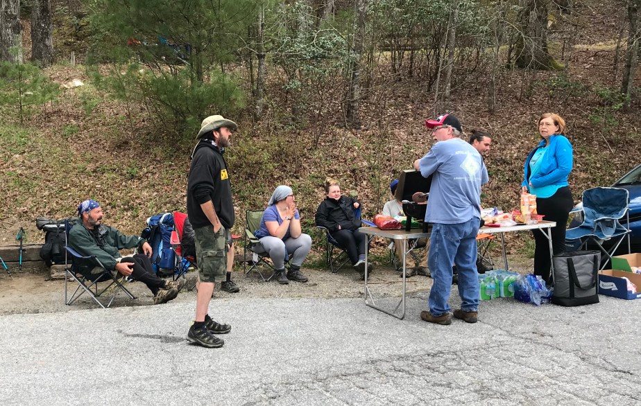
The AT hiking bubble is constantly evolving as people come on and go off the trail. In the photo below, a man and woman (to the right) set up a grill and cook hamburgers and hot dogs for hungry hikers. (This is called “Trail Magic” when people help hikers by feeding them or transporting them for free.)

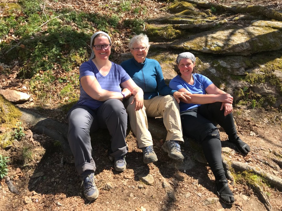
But more significantly, this photo captures some of the people who had stopped at Dick’s Creek Gap on April 14 who were also coming off the trail that day. On the far left is “Ron Rico Suave,” one of my hiking friends. I don’t know the guy in the black sweatshirt. The girl with the grey head wrap is “Low Gear,” whom I’d later enjoy hiking with, and share a room in Franklin with. The blonde girl in black is “On Star,” who was the most organized hiker among us and who always knew where we were (hence her name.)

CC1D915C-B8CF-4D87-AE40-E2136C515B0B

“Ron Rico Suave,” along with “On Star” and “The Finder” had always hiked faster than me, so often they would make it to camp an hour before and be set up by the time I arrived. On our first day back on the trail from Helen, Georgia, they all agreed they were trying to make miles, and I had a feeling that meant we were about to separate.

Here’s The Finder (left) and On Star (right) in the back of the van we traveled in to the Top of Georgia Hostel, where On Star had a restock package waiting for her. We all walked up to rejoin the trail which was a half mile away. From that point on, they hiked forward and I took my old sweet time.

ABC457AF-DED5-40AD-B20D-6513B6B84681

Day 11 – Monday, April 16 – Dick’s Creek Gap to Plumorchard Gap Shelter (4.5 miles, 73.5 miles from Springer)

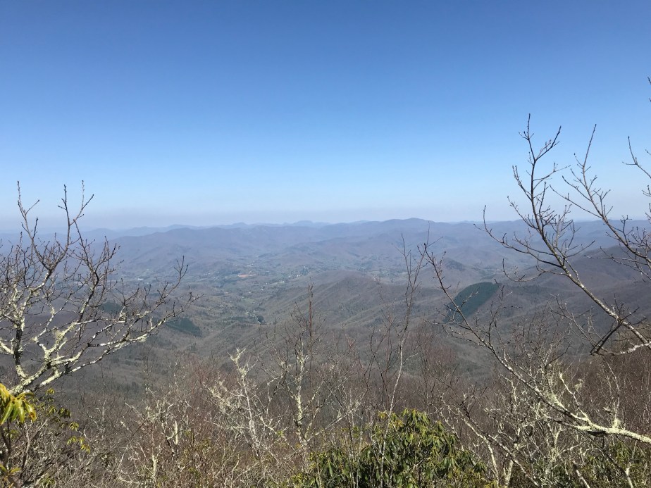
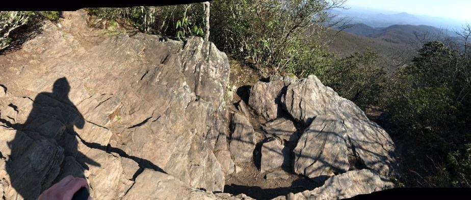
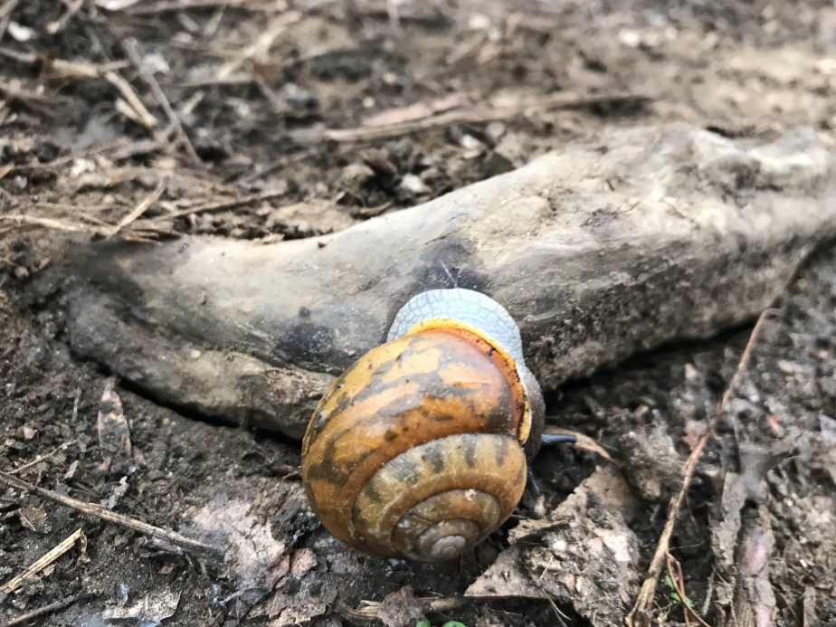
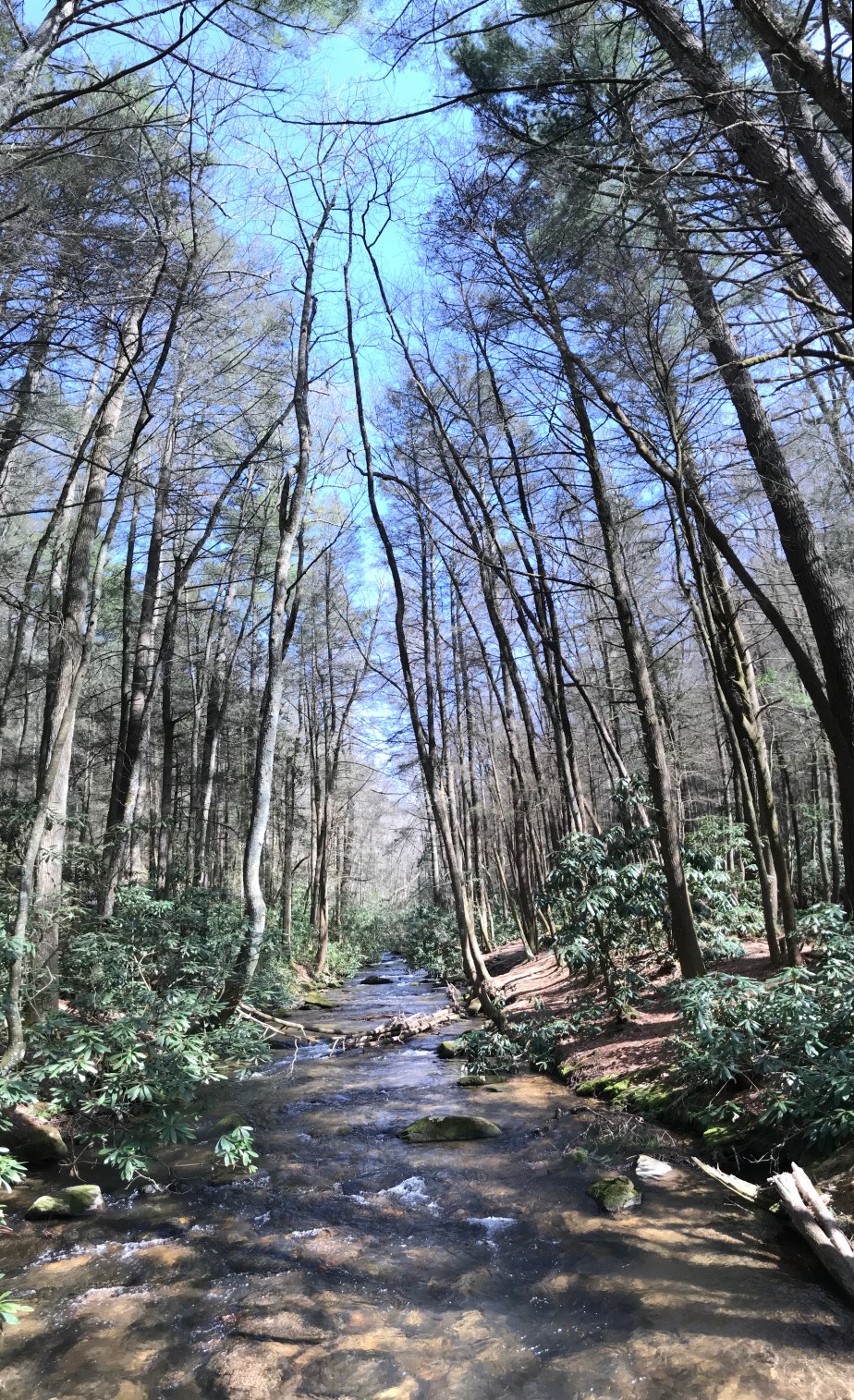
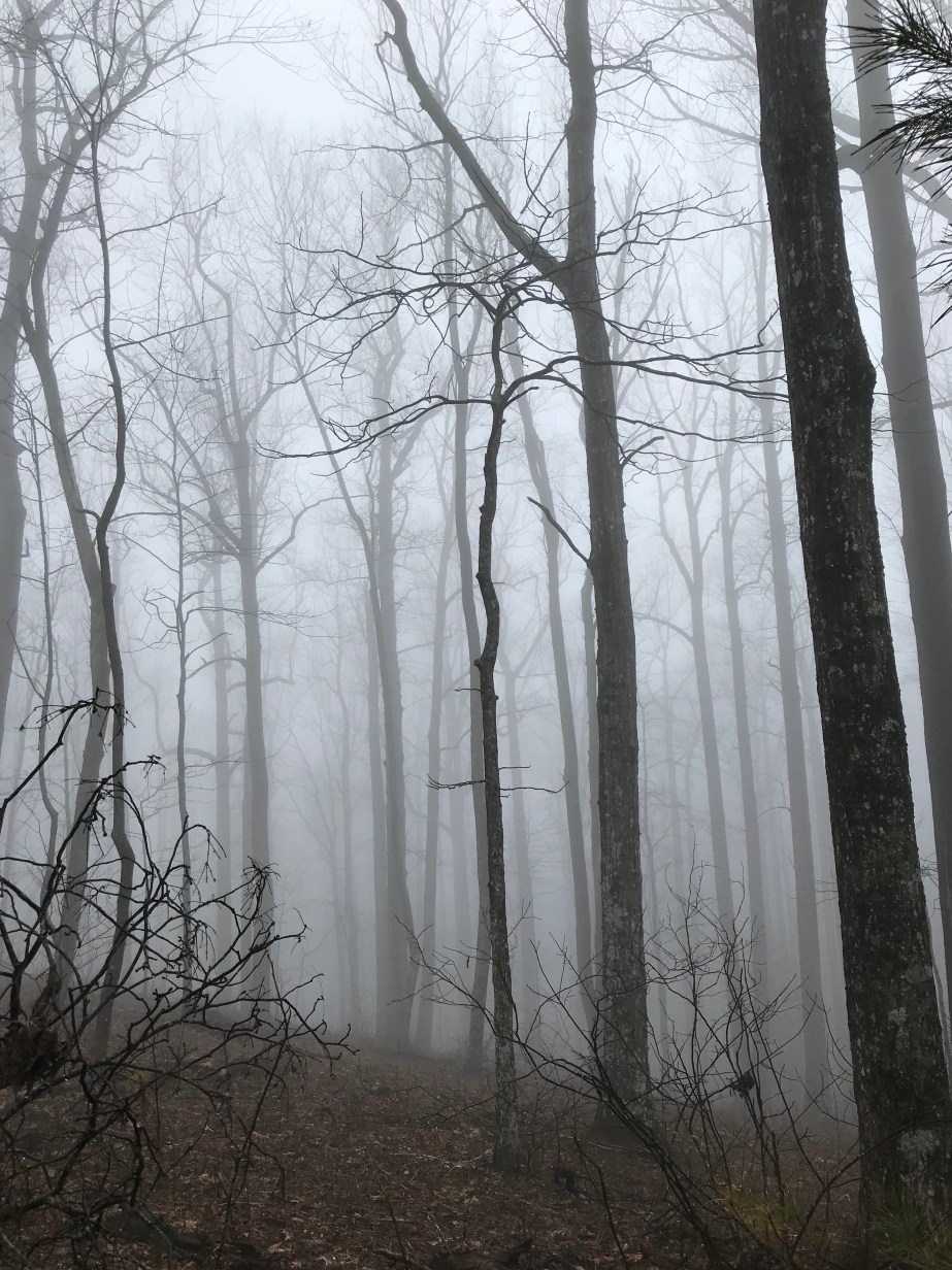
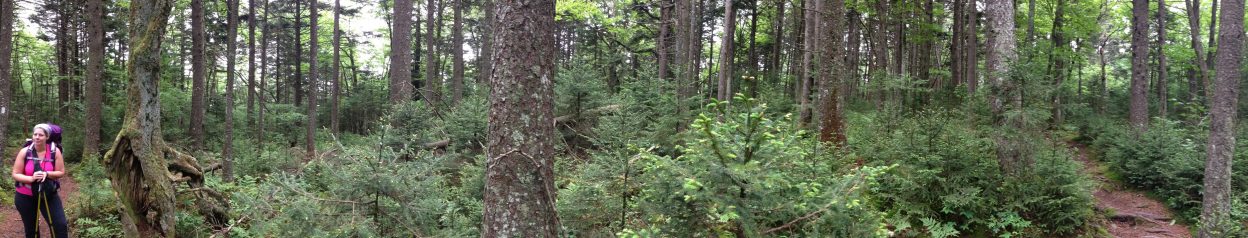
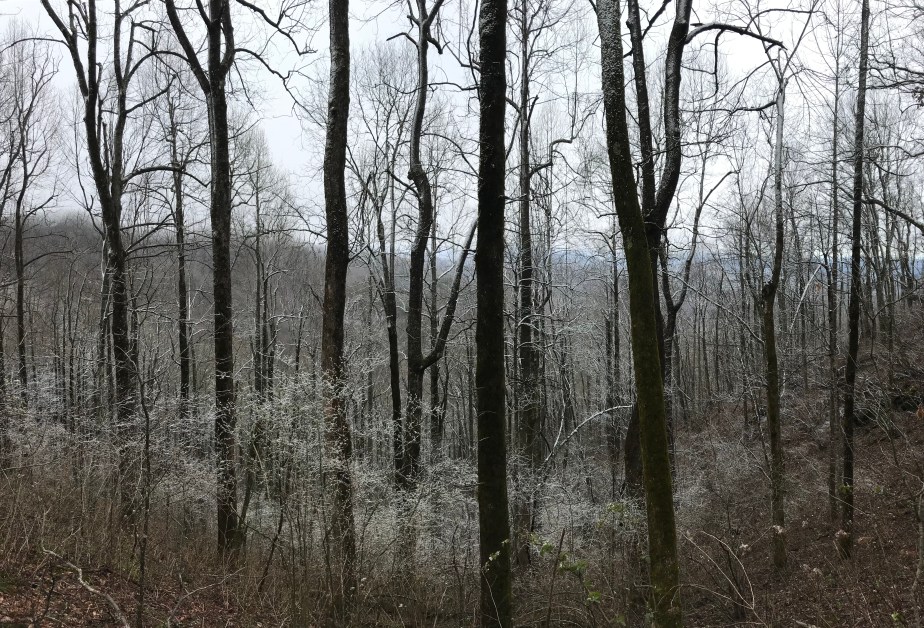
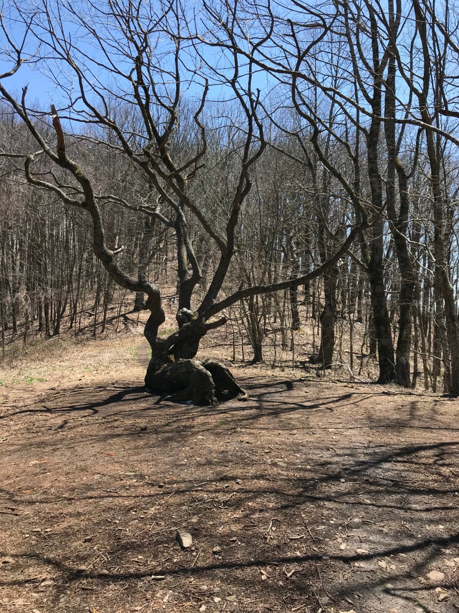
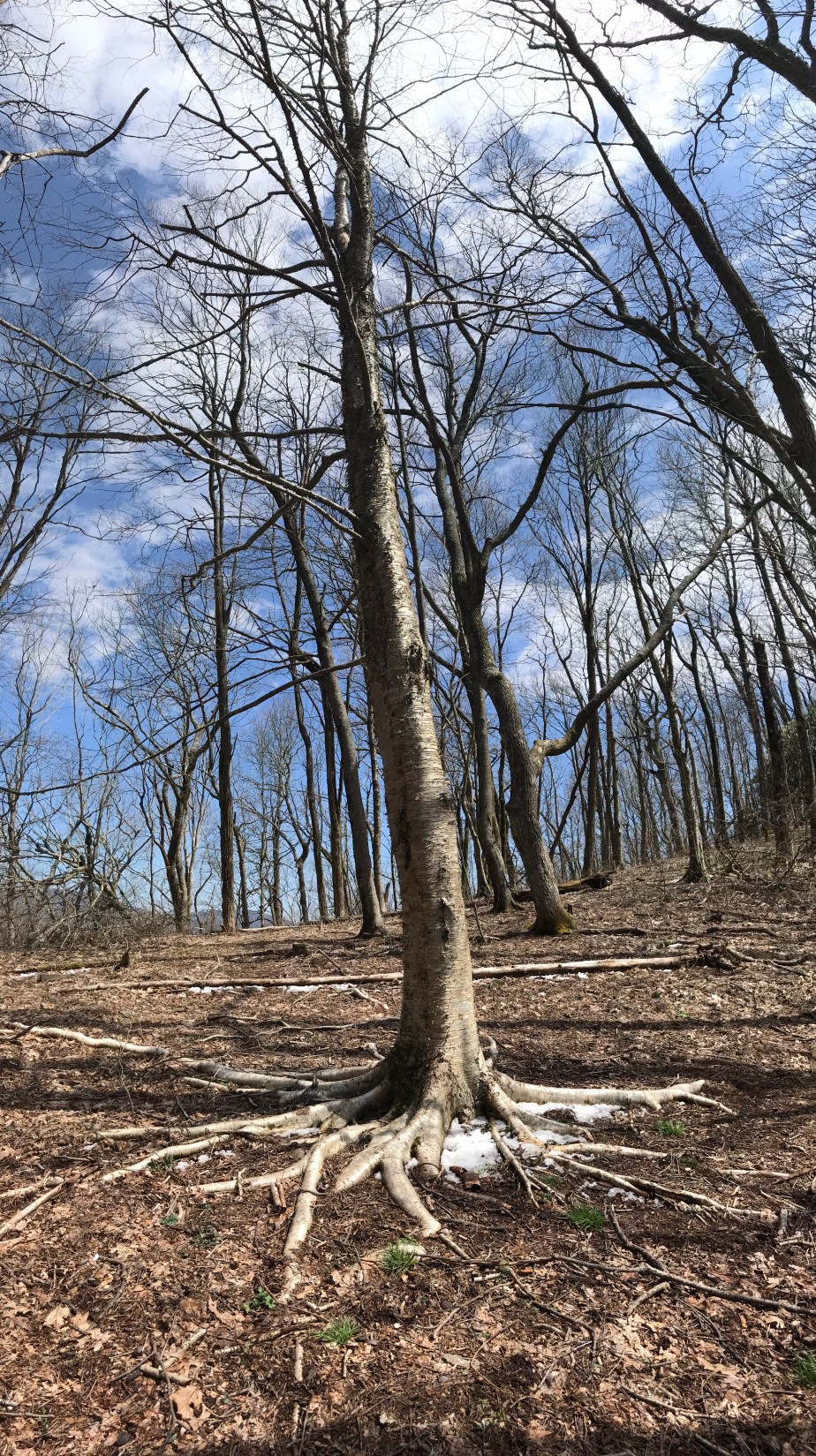
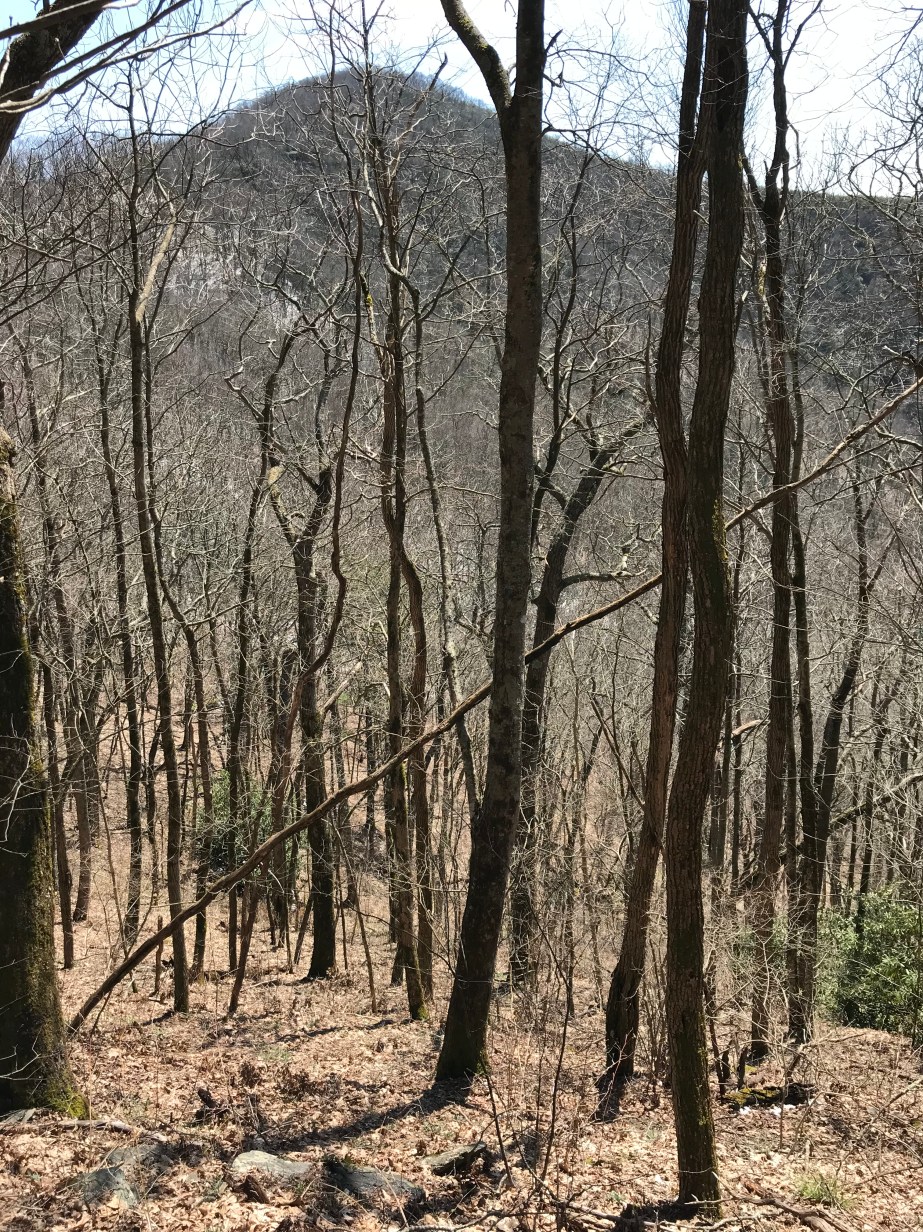
The hike this day was especially cold and windy. The trees were coated in snow and ice which made for beautiful scenery.

059CAC2C-B180-4622-8ED4-4ED5FCB3F9C6

E4BB289A-F049-4B9C-8C5D-46C39EDC9532

5EBFB8CC-8227-43AC-9397-754DBD80E788

DAA470C3-1D1E-4C19-8C45-A731A13342E7

D5B27A26-6CBB-491F-9521-17A8564BA97E

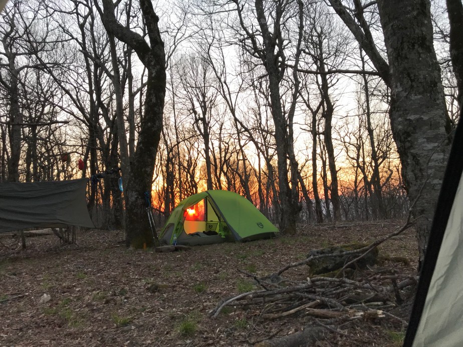
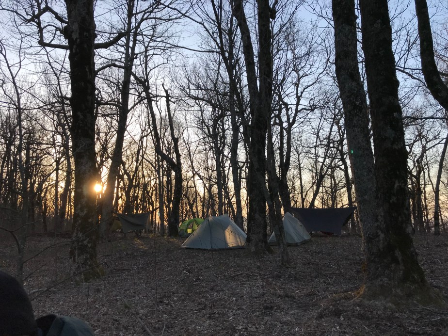
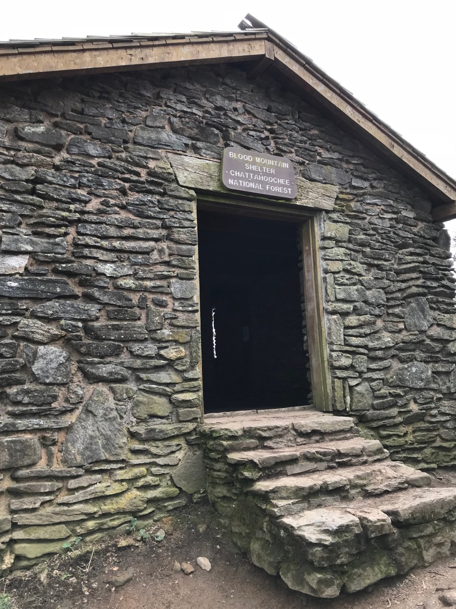
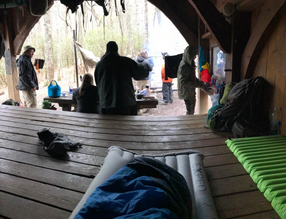
The shelter that night was startlingly cold, probably somewhere in the 20s. If it had not been for the fire, I would have shivered all night. We all opted to sleep inside the shelter, though in hindsight, I would have preferred the nominal warmth of a windless tent.

F1E1744E-30E9-4BA2-92E4-08CE291803EB
The view from my sleeping bag. Ron Rico and On Star are cooking dinner at the table. I had gone stoveless at this point, so it was granola bars and meat sticks for me.
1F5889EC-F58A-4CB3-AAE0-BD63A053B8DF
Tune Up kept everyone’s spirits high that evening and added prayer flags to our shelter.


Day 12 – Tuesday, April 17 – Plumorchard Gap Shelter to Standing Indian Shelter (12.2 miles, 85.7 miles from Springer)

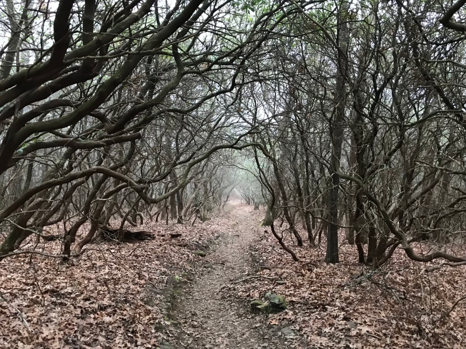
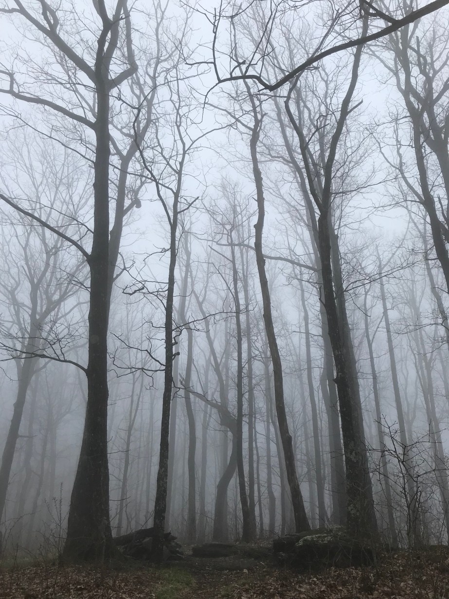
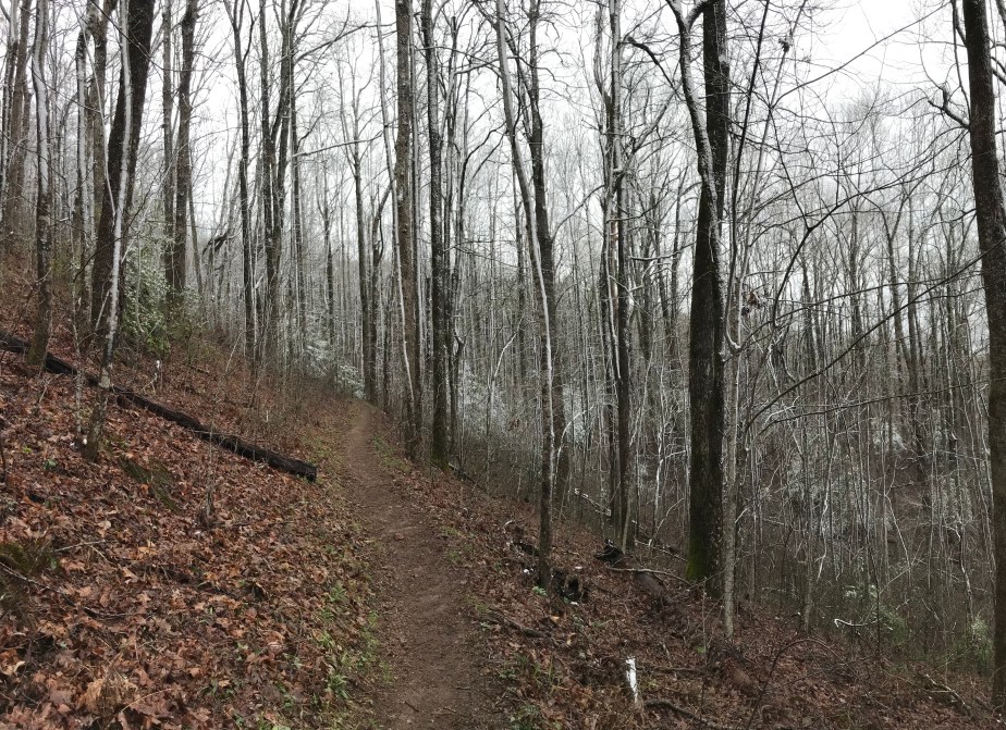
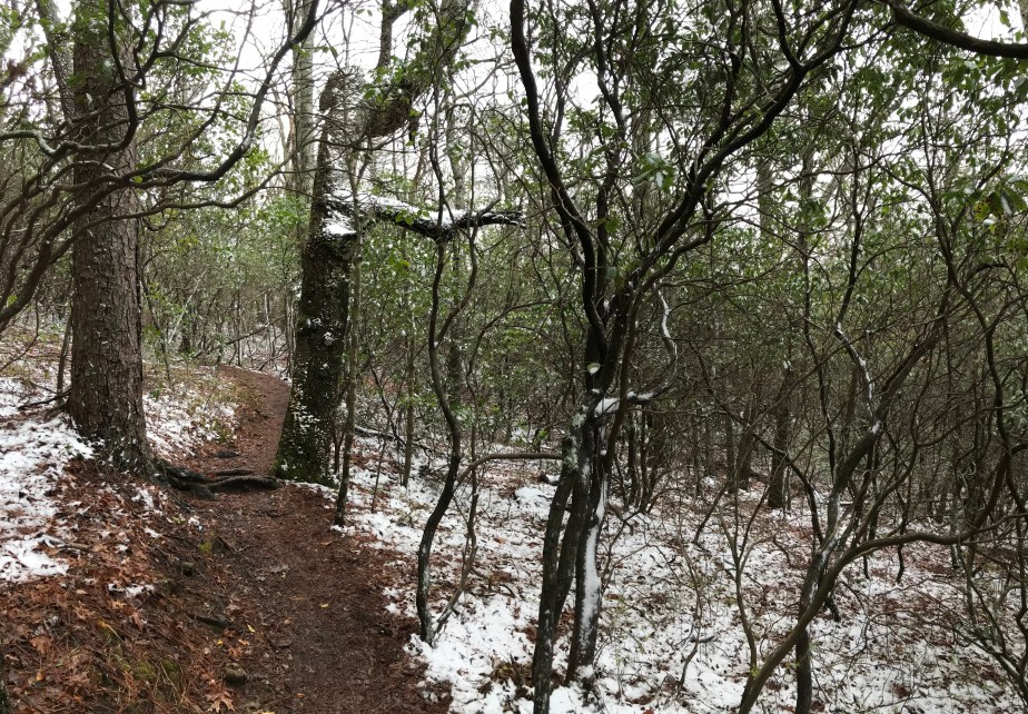
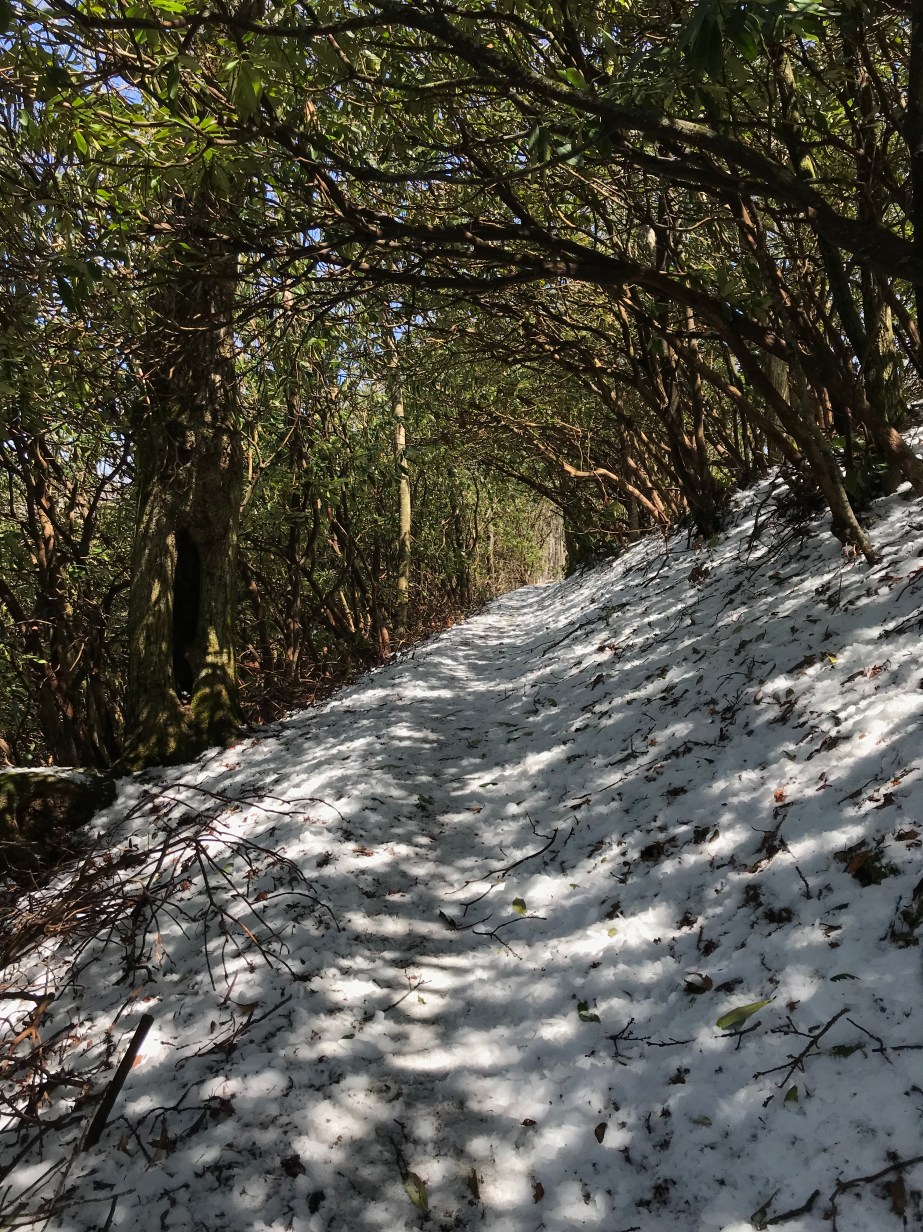
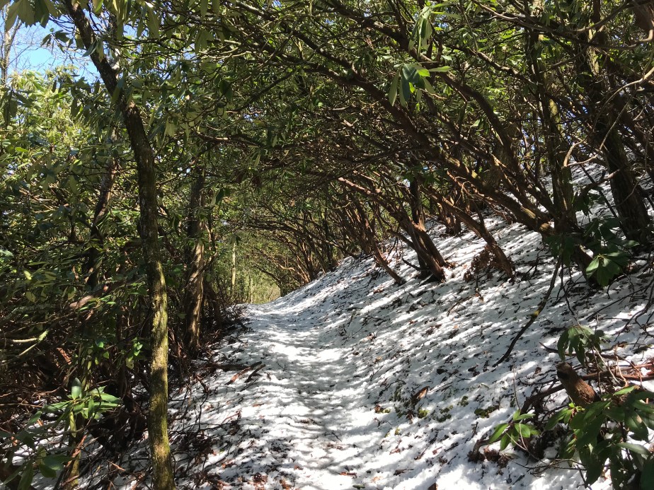
The next day was slightly warmer, although the remnants of ice (that had fallen from the trees that morning) were everywhere to be seen. Because I hiked more slowly than others, I was mercifully spared the pelting that others received as a result of the ice falling from the warming trees.

CE14AAC7-FCB8-4139-9E45-E064CCDA0CCC
Evidence of the tornados that had swept through three weeks ago could be seen everywhere.
1D0778D9-3AE0-4C92-B9F8-999E3B44FAD1
Entering the Southern Nantahala Wilderness was a big deal for me because it meant I was close to leaving Georgia.
AB80B176-8FFB-4EA5-8C51-316763A25845
Finally! Out of Georgia and ready for North Carolina. It’s good to clear the first state of the AT!
0F2706C2-2B70-4DBB-80D7-72B923F815A9
A beautiful but strange tree at Bly Gap.
E63FB05A-384D-4F4E-841B-90CC304946B5
As I began to ascend the mountain (Sharp Top) I begin to worry a little since the elevation is high and the ground is coated in ice.
52ECEC95-AA1B-4FD8-9E02-FEAF9532A389
This is the ice that had pelted my friends hours before.
B3A33F01-B942-40BA-A2E8-76273F61113D
I could just see myself sliding off the mountain so I went slowly.
F803991E-9C86-402D-B250-0C04CD525A86
A beautiful tree whose roots seemed to resemble an octopus.
C204DDAF-817F-4A5F-B334-50C45E921B12
A lovely rhododendron tunnel carpeted with ice.
6A5AD01A-AF0B-4350-86CE-652DE29AB427
It’s impossible to communicate the depth of this picture and the vertigo I felt.

D8B01FF3-7893-4CDE-8670-7FF082732B69

37885E2A-5F0C-43CC-84DA-0BD01E5CEDC3
Sometimes I was able to simply be grateful to be in the woods instead of sitting at my desk.
DD0C3F85-D1BC-4F6F-ADC0-01582B666C61
I’m a huge fan of rhododendron tunnels. Fortunately the AT is filled with them.
2716AF31-7D37-4167-AB41-86D6EFFFBE0A
Sometimes the trail isn’t really a trail, but a path up or down or over a pile of rocks.
5D4A294D-17D7-4D13-9689-485A327BBF47
A creative woodcutter marked the log with the AT symbol.
D5CBFDF5-B7F8-4AE9-BD5B-55C851B76B7C
My tent, set up at Standing Indian Shelter, after a 12.2 mile day.

The part of the story that you aren’t getting is how I came to hike my longest day so far. My friends and I had agreed to hike to Muskrat Creek Shelter and stay for the night, but when I arrived, I realized they had hiked on.

It had been a gorgeous day for hiking and I just imagined that they had arrived at Muskrat Creek Shelter (nothing to write home about) and had decided to make the most of good weather and hike on. I did the same, but pushed myself beyond my comfort.

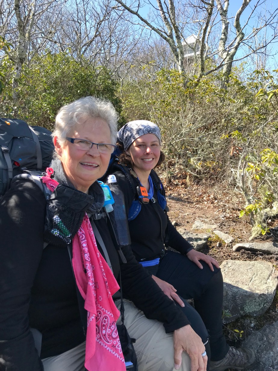
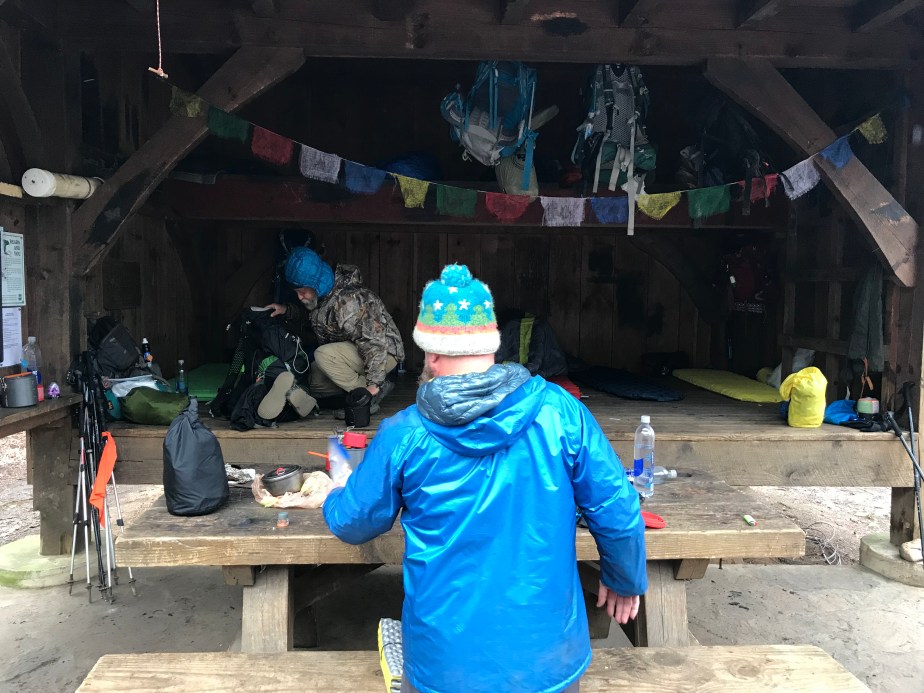
I arrived at Standing Indian Shelter late with the encouragement of a hiker named Overkill who was moving at the same pace I was. He got his name because he had started his hike with upwards of 80 lbs in his pack. He carried a shower (!) along with other things most thru-hikers abandon days into their hikes.

My friends looked at me piteously when I rolled in, and I don’t think I ate dinner, just set up camp and went to bed. The next morning I decided that if they hiked on again it was for the best, since I didn’t want to keep them from making it to Maine. I had already accepted that I wasn’t going to have time to make it that far, so I did not want to hold anyone back.


Fielding 002: Casting Shadows

Neel Gap to Dick’s Creek Gap : April 10 – 14, 2018 for 37.9 total miles

Day 6 – Tuesday, April 10 – Neel Gap to Low Gap Shelter (11.5 miles, 42.6 miles from Springer)

The view below is from Cowrock Mountain, 36.2 miles from Springer.


DC3C3ACD-0F59-4470-B2FE-078E985895E9.jpeg

On the sixth day, I hiked past my friends by accident because of a miscommunication. They opted for a shelter that was over a mile off trail and downhill. I came to the cutoff for the shelter and realized I wasn’t sure if they were there or not, and decided I’d rather hike more miles on trail than waste miles off. It turned out to be a good decision since they had a climb out and a longer next day as a result. I was so tired when I came into Low Gap that I just skipped dinner and went directly to sleep. It was my lowest morale moment on the trail so far and I was lonely, slept badly, and missed my friends.

Taylor, trailname “On Star,” showed up the next morning and my hope was renewed that I was in contact with my friends again. We all hiked (separately, since I am slow) to Blue Mountain Shelter. It was a long day for them, but a moderate day for me.

Day 7 – Low Gap Shelter to Blue Mountain Shelter (7.3 miles, 49.9 miles from Springer)

Below is the sunrise view from Blue Mountain Shelter around 7:30am on Day 8.

5B5F8F9E-B32C-4A5E-97E3-2317E20B6CBC

Day 8 – Thursday, April 12 – Blue Mountain Shelter to Tray Mountain Shelter (8.1 miles, 58 miles from Springer)

This day was fairly hard with some difficult climbs, especially up Tray Mountain. I used my umbrella as much as I could to protect against the sun, but the wind was also strong that day. I began to enjoy taking pictures of my shadow, since they seemed to capture a side of my life on the trail (and off) that felt otherworldly, significantly solo.

57782B5E-123A-45CC-948B-967DD99EB05F

9976D264-C188-4F5B-B582-2D742C0D1F40

3208ABED-E218-4385-AF43-017565A96C83

When I reached camp, everyone else was set up already. As soon as the sun went down, the wind began to howl and whip everyone’s tent or hammock wildly. I spent most of the night praying I wouldn’t be swept away. Everyone had dust in their gear the next morning.

81649137-9FB4-4276-9ADB-64BAB2E86313

84B3D1E5-029F-409A-A50C-DCFB7C462708

249AD00B-134F-4309-AF90-E3EA35889430

Day 9 – Friday, April 13 – Tray Mountain Shelter to Deep Gap Shelter (7.4 miles, 65.4 miles from Springer)

Because of my umbrella, I earned the trail name “Mary Poppins,” which I accepted in lieu of something worse. My friends had been calling me “Rogue” because of my digging tool I carried, but it didn’t exactly fit. The umbrella was for the sun mostly, and the flowers are evidence of the burgeoning spring.

Day 10 – Saturday, April 14 – Deep Gap Shelter to Dick’s Creek Gap (3.6 miles, 69 miles from Springer)

This day was a hike out, so we were gratefully headed to town for restock and rest. Bad weather was moving in, so this was also our chance to avoid potential rain, storms, and snow.

5B8E48AD-708B-4F00-9E14-D155C6B12495

A snail I happened to see while coming off the mountain.

82B485CF-CEEC-4645-811B-154D2040D577


We opted for the touristy Bavarian town of Helen, Georgia over the nearby Hiawassee, largely because we had heard it was hard to find a room. It turned out that Helen was an ideal place to recuperate with fine German food and atmosphere. Oddly enough, there was also a Cabbage Patch Doll Convention in nearby Cleveland, GA, so many of the rooms in our hotel were filled with Cabbage Patch Kids and their enthusiasts.

E64A0C7A-D35A-4617-BC13-6E05B7369AAA43086EA6-5C8A-4AB9-9300-B9D048DC1A11


The clown had to be the strangest I’d seen . . . nightmare material.

C05C483D-4CE3-430C-A5D3-572393868818

We had dined upstairs at Old Heidelberg under the yellow umbrellas.

71606B5B-F3E1-4CD7-999F-BE364F549B6C

Below, the “Troll Tavern” can be seen below the bridge. Really a fun town with some interesting spaces.

B4A216BC-A371-42BB-BFD7-257615BF9650

Flowers were some of the most beautiful I’ve seen.

ED43E29E-F811-4EAB-B0F2-1EF1D7F7ECE2

Sunday, April 15 – ZERO DAY

(Glad it was a zero day because the German beer was a bit much on my stomach which had only enjoyed trail food and water up until that point!)


Fielding 001: Where to Begin?

Approach Trail to Neel Gap : April 4 – 8, 2018 for 39.9 total miles

Although the Approach Trail does not technically count toward the Appalachian Trail, it does grant those who choose to hike it a tiny bit of trail cred since the Appalachian Trail Conservancy encourages folks to start at Amicalola Falls instead of the top of Springer, which is difficult to access. I decided to start at the top of the falls instead of climbing the 600+ stairs from the bottom, and I’m glad I opted to bypass the man made challenges—the Approach Trail was challenging enough!

img_9776-1

Day 1 – Wednesday, April 4 – Top of Falls to Black Gap Shelter (7.3 miles to just 1.5 mile away from Springer Mountain, which is the official start of the Appalachian Trail.)

Hiking alone meant I could stop as much as I wanted to take pictures.

Day 2 – Thursday, April 5 –  Black Gap Shelter to Hawk Mountain Campsite (8.9 miles, 7.4 miles from Springer)

On this day I spent a little time hiking with Kyla, trail name “The Finder.”

Long Creek Falls. I wish now that I had done more research since there are supposedly petroglyphs here that I didn’t know to look for.

Day 3 – Friday, April 6 – Hawk Mountain Campsite to Gooch Mountain Shelter (8.3 miles, 15.7 miles from Springer)

Day 4 – Saturday, April 7 – Gooch Mountain Shelter to Lance Creek Restoration Area (7.3 miles, 31.1 miles from Springer)

The woods are ethereal on this, my fourth day on the trail.

img_9887-1

Day 5 – Sunday, April 8 – Lance Creek Restoration Area to Neels Gap (7.3 miles, 31.1 miles from Springer)

Entering the Blood Mountain Wilderness, which I felt to be ominous; Blood Mountain is called so after a bloody battle between the Cherokee and the Creek.

The shelter at the top of Blood Mountain, which you could only stay in if you had a bear canister. I had one, but there was no way I wanted to stay here, especially since my trail friends and I had a cabin reserved at the foot of the mountain.

The tree at Mountain Crossings, Neel Gap is strung with castoff boots of the 25% who quit the trail within the first few days. Even though I was ready for a break, there was no way I was quitting this early into the hike.

Monday, April 9 – ZERO DAY (called a zero day because I covered zero miles.) A zero day is sometimes essential for morale, in order to eat a filling meal and do laundry, restock, and enjoy some time to rest and heal before getting back on the trail.

My feet were not bad, but I owe everything to the KT tape and being able to wear my Xero shoes when the boots were too much.

Beatrice the Beaver, mascot of Cabin Beaver, where my hiking friends and I landed for a much needed zero day. Her story is offered below: